
Our Services
See Beneath
the Surface.
Archaeologist-led geophysical and archaeometric services designed to answer specific questions about archaeological sites, historic properties, cultural landscapes, cemeteries, and archaeological materials.
STRATA integrates geophysical instrumentation, archaeological interpretation, GIS, remote sensing, and archaeometry. Methods are selected according to site conditions, anticipated targets, research objectives, and the decisions each investigation needs to support.
01 / Flagship Service
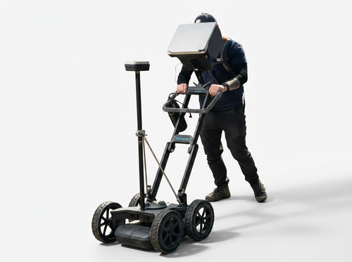
Ground-Penetrating Radar
Detailed Subsurface Information Without Excavation
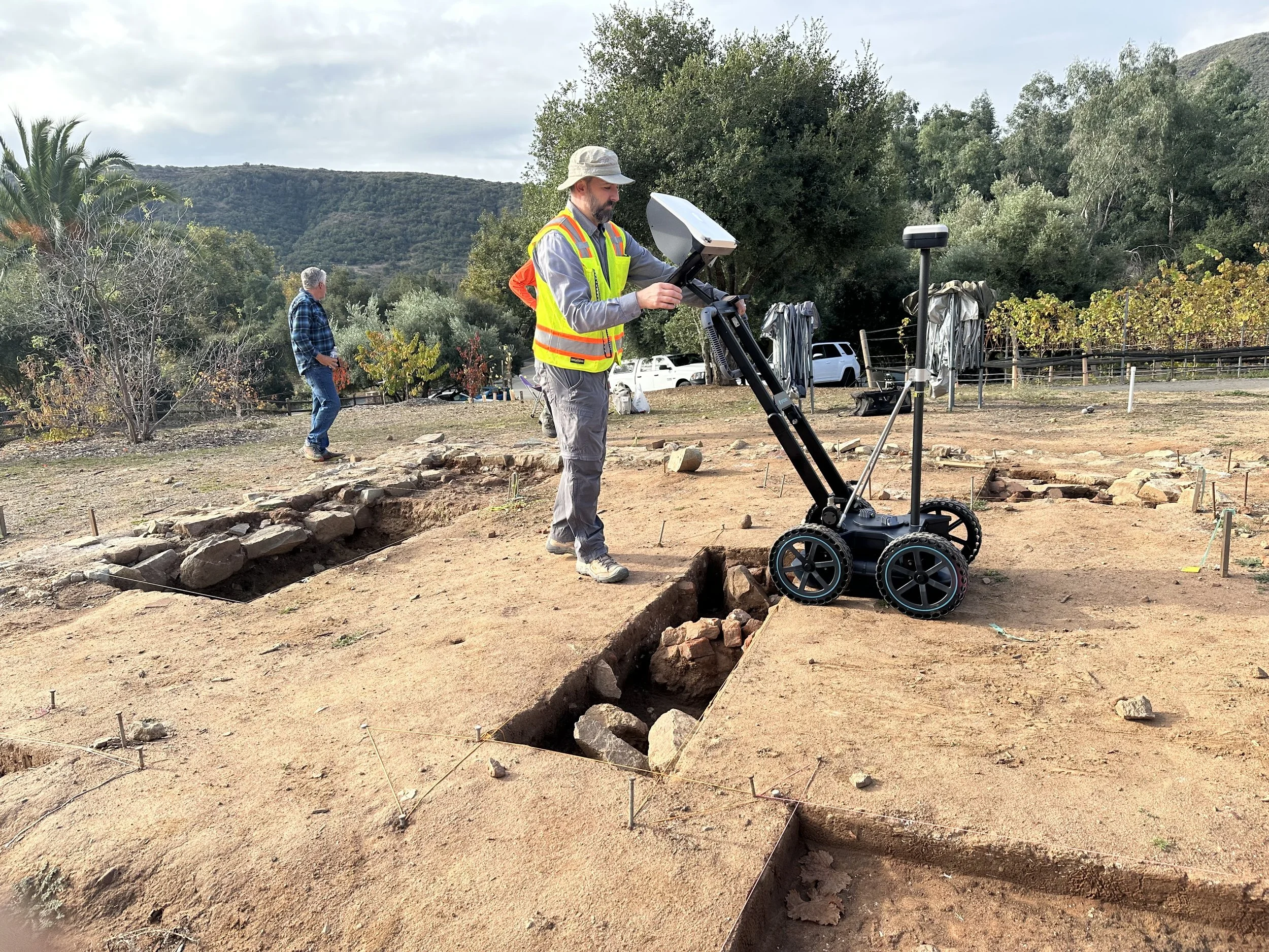
Ground-penetrating radar is STRATA's primary geophysical service and one of the most versatile non-invasive methods available for archaeological subsurface investigation.
GPR transmits electromagnetic energy into the ground and records reflections created by contrasts in soil, sediment, moisture, buried materials, and subsurface structures. Data can be processed into radar profiles, plan-view depth slices, interpreted anomaly maps, and three-dimensional visualizations.
STRATA interprets GPR within its archaeological context. Survey design, transect spacing, positioning, processing, and interpretation are tailored to the anticipated targets, environmental conditions, and project question.
Archaeological Sites
Investigate buried architecture, floors, walls, pits, trenches, activity areas, and other potential archaeological features.
Cemeteries
Evaluate anomalies potentially associated with graves, burial shafts, burial containers, and cemetery features using a preservation-first approach.
Historic Properties
Investigate foundations, former structures, pathways, utilities, buried surfaces, and other remnants of historic land use.
Planning & Research
Generate subsurface information that can guide archaeological testing, research design, preservation, avoidance, and project planning.
Typical Deliverables
From Field Data to Clear Findings
02 / Integrated Geophysics
Archaeological Geophysics
Multiple Methods. Complementary Information.
Different geophysical instruments respond to different physical properties. Combining methods can reveal subsurface patterns that may not be apparent in a single dataset.
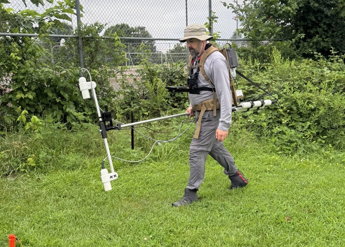
In addition to GPR, STRATA offers magnetometry and electromagnetic conductivity surveys. Magnetometry measures variations in the local magnetic field associated with contrasts in magnetic susceptibility, burning, soil disturbance, metal, and other subsurface materials.
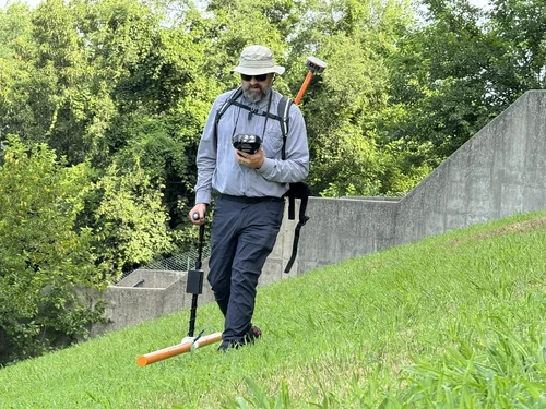
Electromagnetic conductivity measures variation in apparent electrical conductivity and magnetic response and can help characterize broader soil, sediment, moisture, and archaeological patterns.
When appropriate, these datasets can be integrated with GPR, GIS, archaeological survey, historical mapping, geoarchaeology, or excavation results to refine anomaly interpretation.
Ground-Penetrating Radar
Electromagnetic reflections
Provides vertical and horizontal information useful for investigating buried structures, graves, pits, trenches, floors, utilities, voids, and disturbed soils.
Magnetometry
Magnetic field variation
Particularly useful for hearths, burned features, pits, ditches, structures, metal, and magnetically enhanced archaeological soils.
Conductivity
Apparent conductivity + magnetic response
Useful for broader soil variation, disturbance, moisture contrasts, archaeological deposits, and landscape-scale subsurface patterning.
Why Integrate Methods?
Corroboration Rather Than Assumption
A strong response from one instrument does not automatically identify an archaeological feature. Because each method measures different physical properties, overlapping patterns can help distinguish meaningful archaeological signals from geology, utilities, modern disturbance, and other sources of subsurface variation.
03 / Archaeometry
Portable X-Ray Fluorescence
Elemental Information for Archaeological Questions
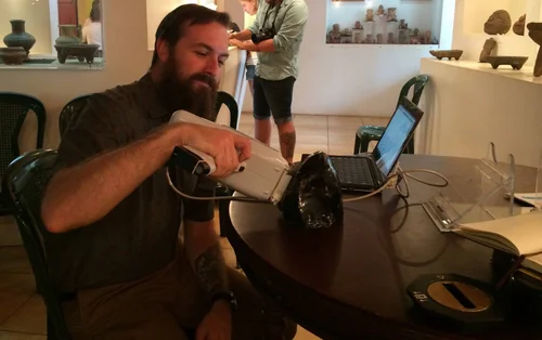
Portable X-ray fluorescence provides rapid elemental characterization of archaeological materials and prepared soil samples with little or no destructive sampling.
STRATA's primary pXRF application is obsidian sourcing. Elemental compositions can be compared with geological reference materials to investigate provenance and patterns of procurement, production, exchange, mobility, and interaction.
pXRF can also support comparative characterization of ceramics, sediments, pigments, metals, shell, and other archaeological materials where the analytical question and material properties are appropriate for the method.
Multi-element analysis of prepared soils may also help investigate archaeological activity areas, soil enrichment, refuse disposal, food-related activities, and past land use. Phosphorus and other elemental indicators are interpreted only where sample preparation, matrix conditions, instrument performance, and calibration support defensible analysis.
Obsidian Sourcing
Compare archaeological artifacts with geological reference materials to evaluate potential sources and reconstruct procurement and exchange.
Archaeological Soil Chemistry
Map multi-element geochemical variation potentially associated with activity areas, occupation, food preparation, refuse, or past land use.
Material Characterization
Evaluate compositional differences among ceramics, pigments, metals, sediments, shell, and other archaeological materials.
Choosing the Right Method
The Question Comes First.
No geophysical instrument can detect every archaeological feature in every environment.
Soil composition, geology, moisture, vegetation, surface access, target size and depth, modern infrastructure, and the research question all influence which method is likely to provide useful results.
STRATA evaluates these conditions before recommending instrumentation, survey coverage, spatial resolution, and analytical strategy.
Our Process
From Project Question to Clear Findings
Define
Identify the archaeological or project question.
Design
Select methods, coverage, positioning, and resolution.
Collect
Acquire high-quality geophysical or analytical data.
Interpret
Evaluate results within archaeological and environmental context.
Deliver
Provide clear maps, findings, limitations, and recommendations.