
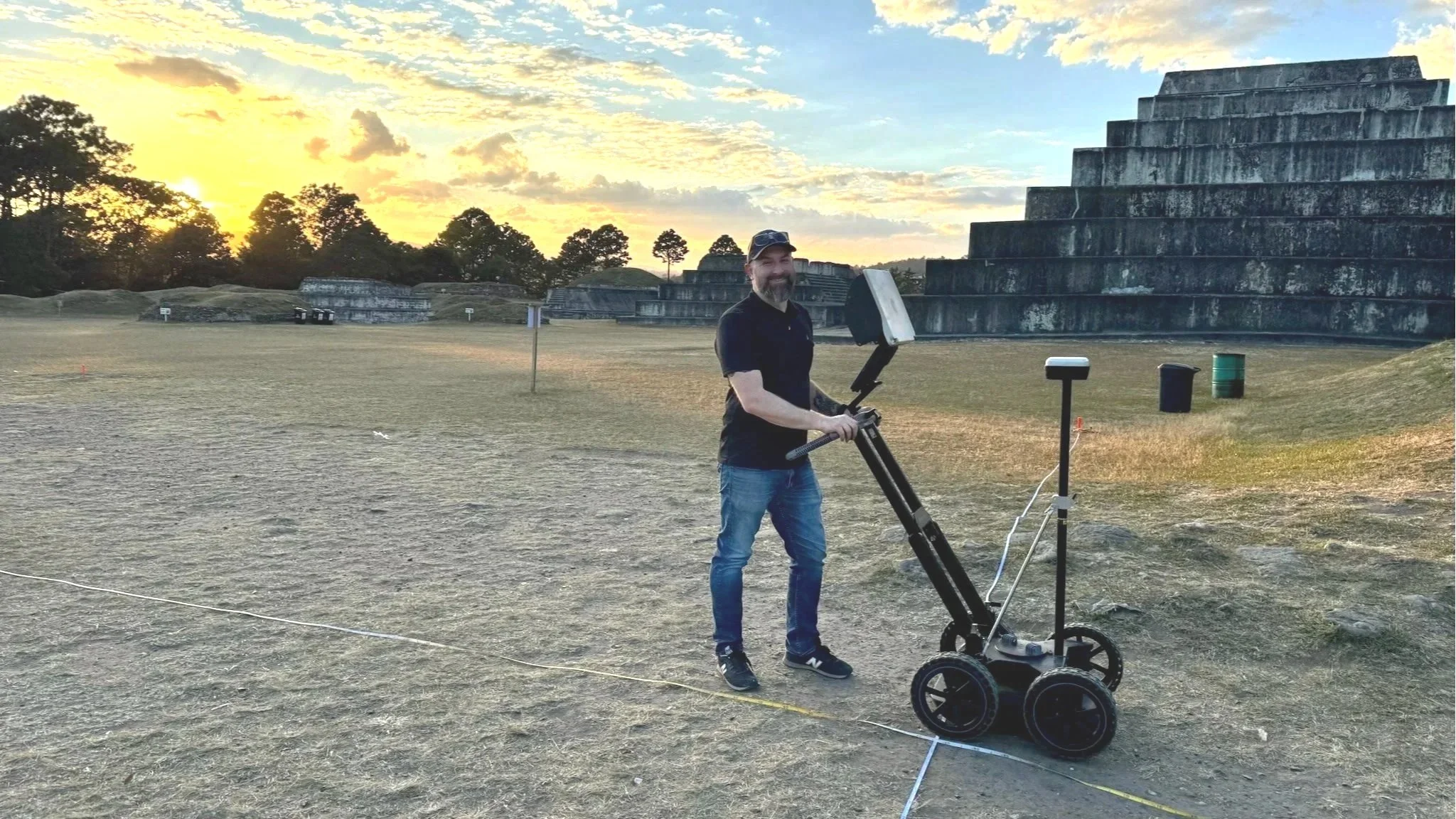
See Beneath the Surface
Ground Penetrating Radar and Geophysical Services for informed Cultural Resource Management, planning, and preservation.
Our Core Services
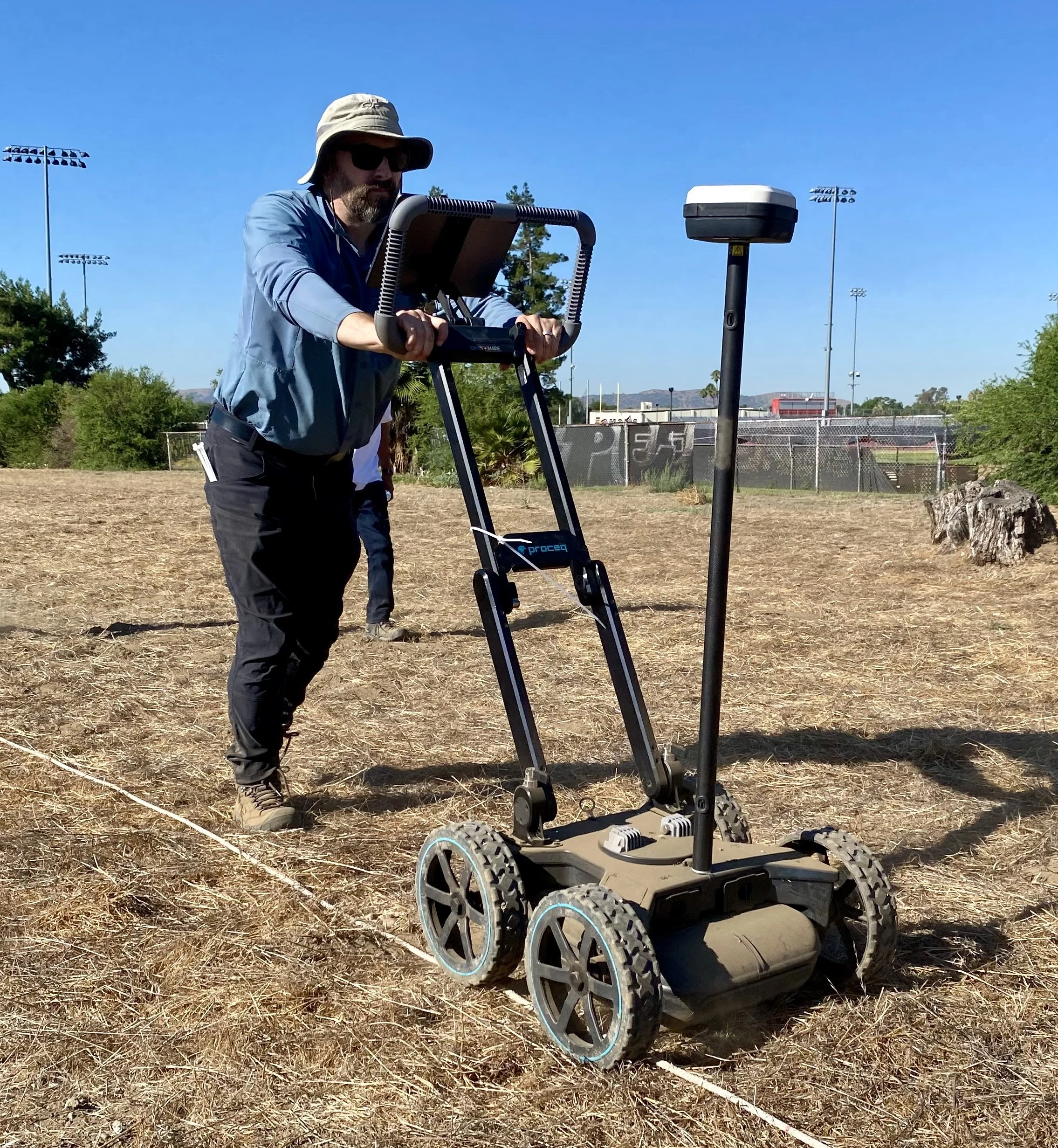
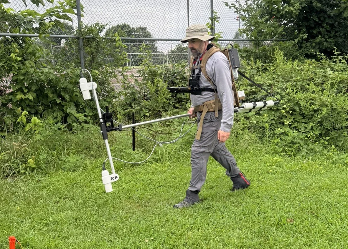
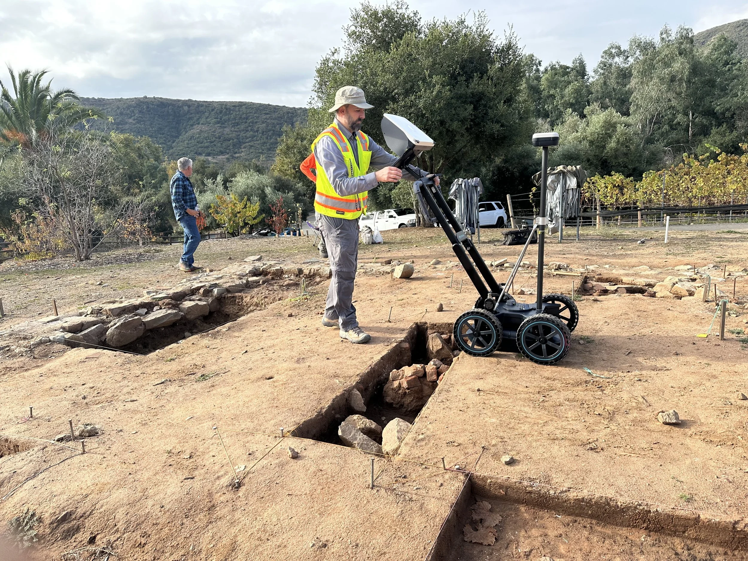
Ground-penetrating radar is STRATA’s primary geophysical service. This non-invasive method produces detailed subsurface profiles and depth-slice imagery that can help identify potential archaeological features, graves, foundations, utilities, disturbed soils, and other anomalies. Each survey is designed around site conditions, anticipated targets, and the specific question the project needs to answer.Ground-Penetrating Radar
In addition to ground-penetrating radar, STRATA offers magnetometry and electromagnetic conductivity surveys to provide complementary information about subsurface conditions. These methods can detect variations in magnetic properties and soil conductivity that may not be visible in GPR data alone. When used together, they can help refine anomaly interpretation, identify broader subsurface patterns, and strengthen the basis for archaeological recommendations. STRATA designs multi-method surveys around site conditions, anticipated feature types, and project objectives, drawing on experience with complex investigations that integrate geophysics, archaeology, GIS, and geoarchaeological data.
Archaeological Geophysics
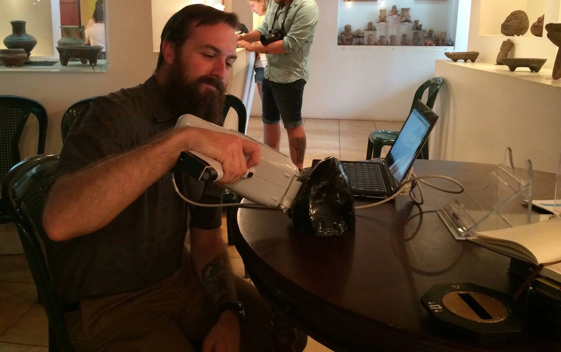
STRATA provides portable X-ray fluorescence analysis for rapid, non-destructive characterization of archaeological materials and soils. Primary applications include obsidian sourcing and multi-element soil analysis to investigate activity areas, food preparation, refuse disposal, soil enrichment, and past land use. pXRF may also support comparative studies of ceramics, pigments, metals, sediments, and other cultural materials.
portable X-ray fluorescence
Why Strata
Technical Precision.
Archaeological Context.
Archaeologist-led geophysical investigations
Methods tailored to site conditions and project objectives
Integration of geophysics, GIS, remote sensing, and cultural resource data
Clear interpretation and decision-ready deliverables
Experience supporting private, municipal, state, federal, and academic projects
Applications
Methods Designed Around the Question
Selected Project Experience
Geophysics in Practice
Representative investigations showing how STRATA's methods can support archaeological research, preservation, and community decision-making.
Cemetery Geophysics · Community Archaeology
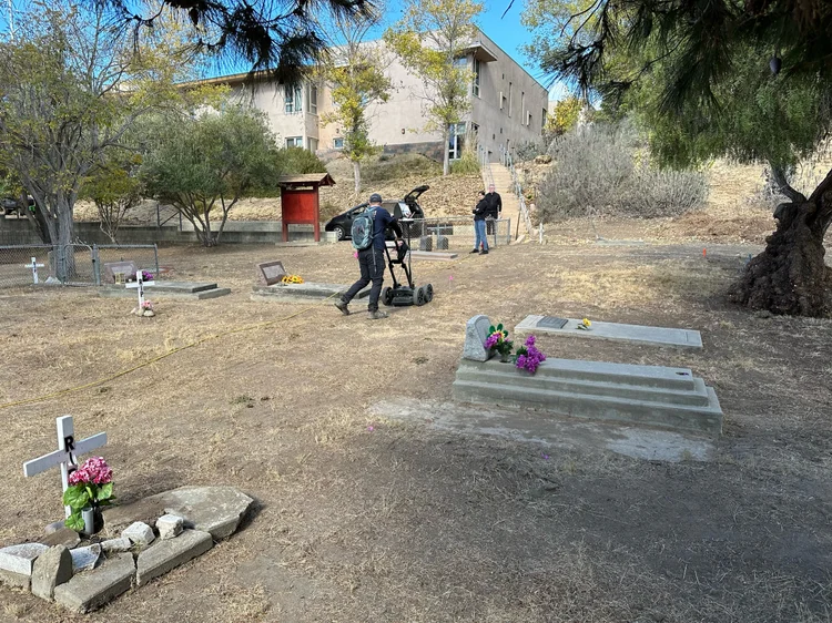
St. Thérèse of Carmel Cemetery
Southern California
A community-driven GPR investigation used high-resolution geophysical survey, GNSS, GIS, and archaeological interpretation to help document possible unmarked burials within a historic cemetery connected to the La Colonia de Eden Gardens community.
View Project Experience →
Maya Archaeology · Archaeological Geophysics
Proyecto Arqueológico Zaculeu
Huehuetenango, Guatemala
Approximately five acres of plazas, patios, terraces, and open areas were surveyed using high-resolution GPR to investigate buried architecture and refine understanding of the site's construction and occupation history.
View Project Experience →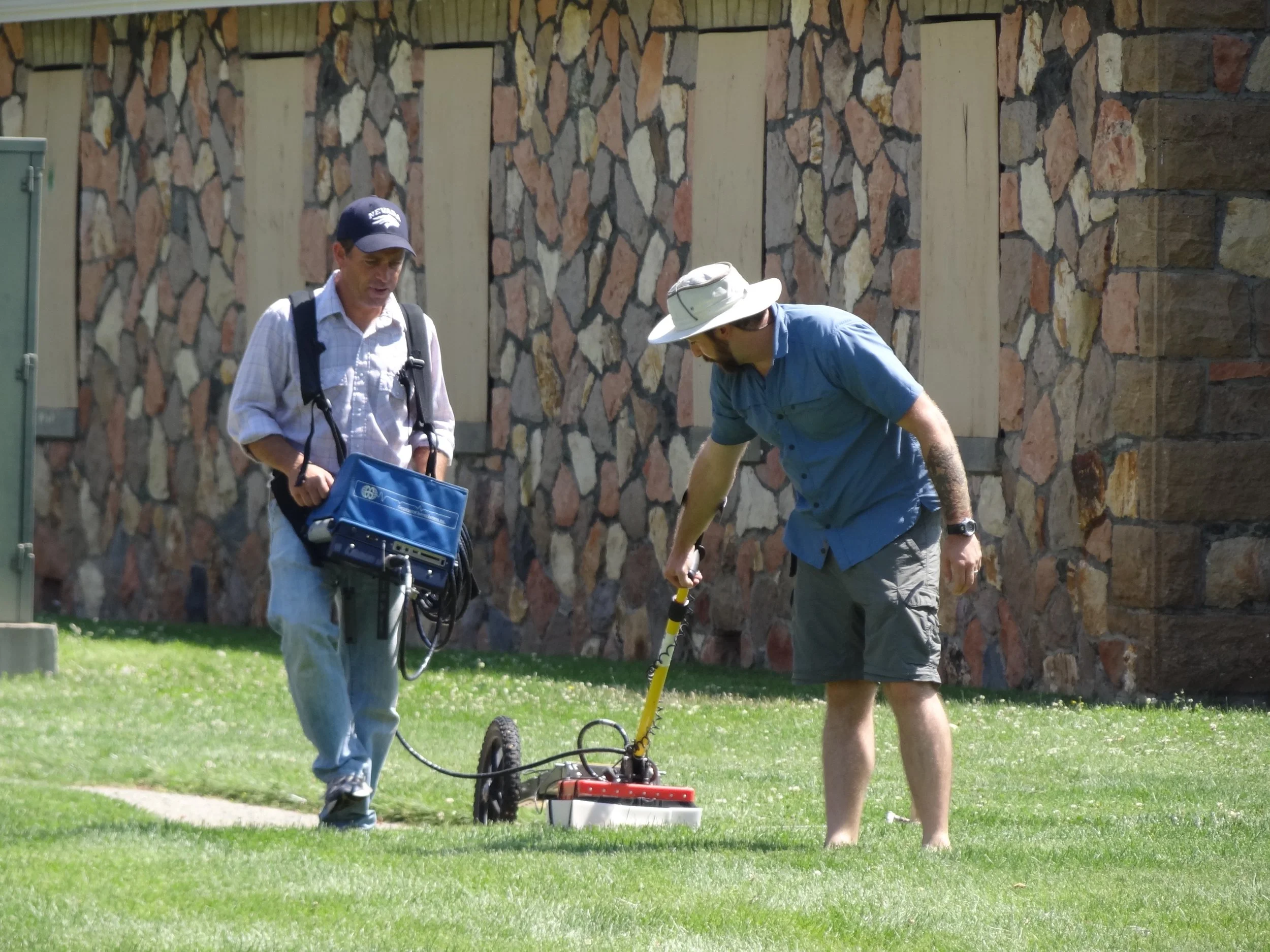
Historic Archaeology · GPR
Stewart Indian School
Nevada
Ground-penetrating radar was used to investigate portions of the historic campus and identify subsurface evidence associated with former structures while distinguishing archaeological targets from utilities and modern disturbance.
View Project Experience →