Selected Project Experience
Archaeological Geophysics
in Practice.
Representative investigations demonstrating the use of ground-penetrating radar, GIS, remote sensing, archaeological interpretation, and archaeometry to address research, preservation, and community-driven questions.
Projects shown here reflect professional, academic, and collaborative experience of STRATA personnel. Public descriptions intentionally omit confidential archaeological coordinates, precise burial locations, culturally restricted information, and other sensitive resource data.
This project began not with a development requirement or regulatory compliance issue, but with a question from a descendant community:
Where are our loved ones buried?
St. Thérèse of Carmel Cemetery is a historic burial ground established in 1894 on land once associated with Mount Carmel Ranch. Church records document 83 burials between 1919 and 1980, although historical evidence and community knowledge indicate that the number of people interred there is likely higher.
Over generations, many wooden crosses and handmade grave markers disappeared through fire, weathering, vegetation, deterioration, and time. For descendants connected to the cemetery, the loss of those markers meant that relatives known to be buried there could no longer be located with confidence.
The cemetery is closely connected with the history of La Colonia de Eden Gardens, a Mexican American community established in North County San Diego during the early twentieth century by agricultural workers and their families. Many descendants of those families remain part of the community today.
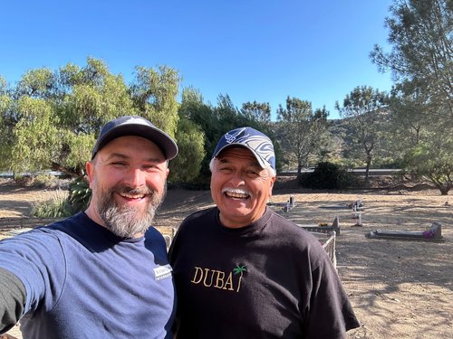
Community members, including Michael Beltran, Cemetery Director and Community Liaison, and Armand Olvera, together with volunteers from La Colonia, played a central role in restoring, maintaining, researching, and bringing renewed attention to the cemetery.
The Investigation
High-Resolution GPR with Archaeological Context
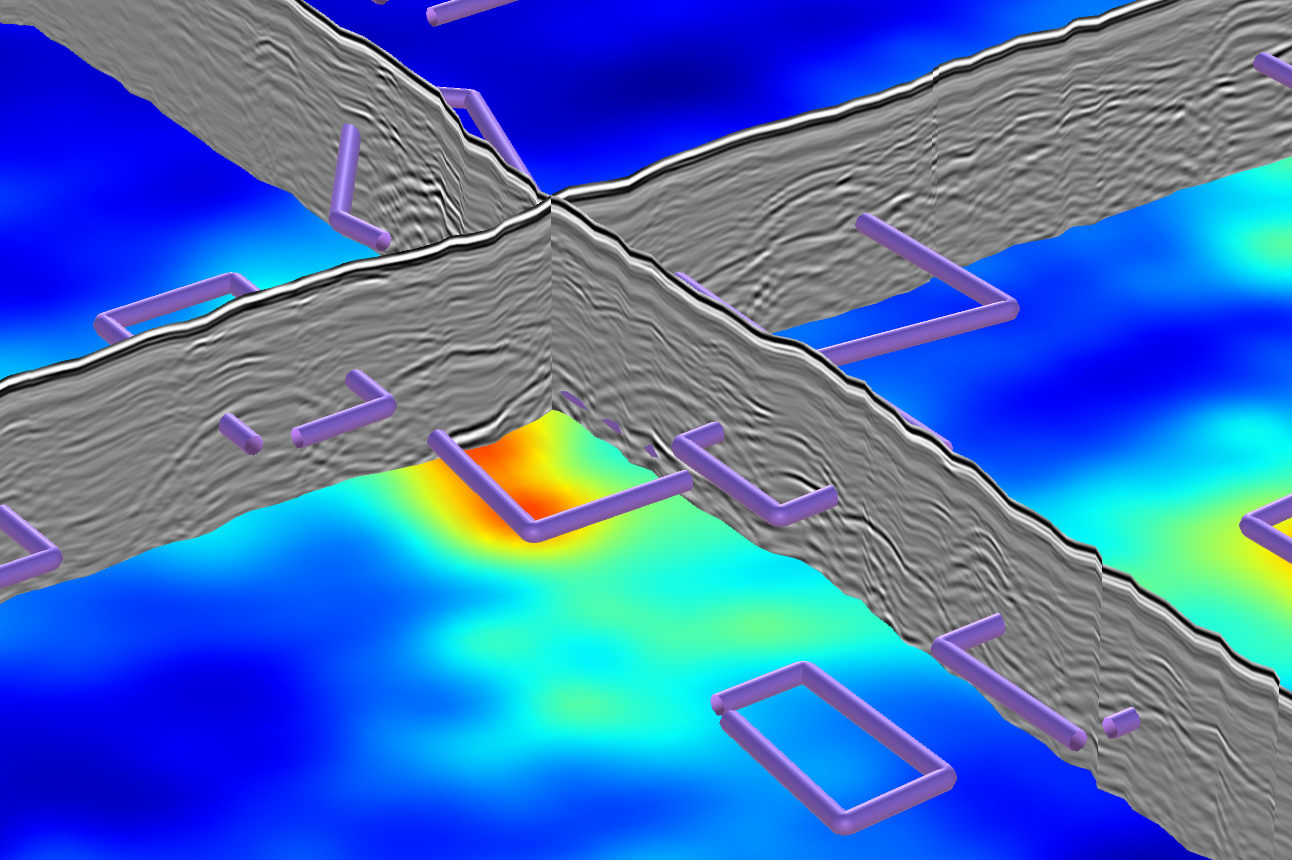
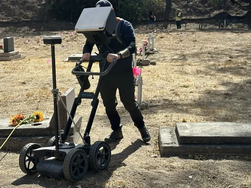
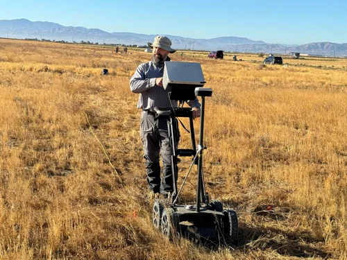
The investigation used a Screening Eagle Proceq GS8000 stepped-frequency continuous-wave GPR system capable of collecting both higher- and lower-frequency datasets. Transects were spaced approximately 50 centimeters apart and georeferenced with an integrated multiband GNSS receiver.
Radar data were processed and interpreted using GPR Insights and GPR Slice and integrated into ArcGIS. Possible burial-related anomalies were evaluated using multiple lines of evidence rather than reflection intensity alone.
Hyperbolic radar reflections
Grave-sized linear features
Depth and dimensional consistency
Repeated orientation and spatial alignment
Relationships to surviving grave markers
Historical and community information
Results + Community Impact
From Subsurface Data to Places of Remembrance
The analysis identified 151 subsurface anomalies interpreted as possible burial locations. Some occurred in recognizable alignments while other portions of the cemetery displayed a more irregular pattern, illustrating the complexity of a burial landscape that developed over many decades.
The interpretations remain appropriately probabilistic. Clay-rich soils, root systems, rodent disturbance, decomposition, variations in burial construction, and other subsurface conditions can obscure graves or generate reflections unrelated to burials. Because the investigation was intentionally non-invasive, no excavation was undertaken to ground-truth individual anomalies.
The value of the project extended beyond producing a technical map. Processed information was returned to the La Colonia Community Foundation through GIS, KMZ, and interactive mapping products so that community members could use the data directly.
In several cases, geophysical interpretations helped families establish spatial reference points for relatives whose grave locations had been lost. The work demonstrates how archaeogeophysics can serve descendant communities while maintaining a preservation-first approach to sensitive burial landscapes.
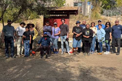
Archaeological technology was used here not simply to satisfy a regulatory requirement, but to support community memory, stewardship, historical recognition, and preservation.
Additional Experience
Geophysical Investigations Across Archaeological Contexts
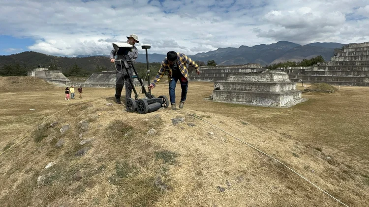
Maya Archaeology · Archaeological Geophysics
Proyecto Arqueológico Zaculeu
Huehuetenango, Guatemala
Large-area ground-penetrating radar survey conducted at the Mam Maya capital of Zaculeu to investigate buried architecture and refine understanding of the site's occupation and construction history.
Approximately five acres of plazas, patios, terraces, and other open areas were investigated. High-resolution GPR identified linear, rectilinear, curvilinear, and aggregate anomalies, with selected targets subsequently evaluated through archaeological excavation.
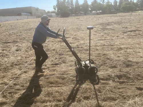
Tribal Collaboration · Cemetery Geophysics
Jamul Indian Village Cemetery Study
Southern California
A culturally sensitive cemetery investigation combining ground-penetrating radar, precision spatial control, aerial imagery, and GIS to evaluate subsurface anomalies and support responsible Tribal stewardship.
Multiple GPR datasets provided complementary information in a geologically complex environment where soils, bedrock, topography, and differences in burial practices affected radar responses.
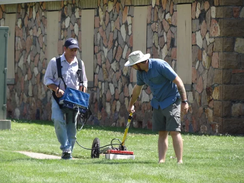
Historic Archaeology · Ground-Penetrating Radar
Stewart Indian School
Nevada
Ground-penetrating radar was used to investigate portions of the historic boarding-school landscape and identify subsurface evidence associated with former structures and other archaeological features.
More than 4,500 square meters were surveyed. Interpretation distinguished known utility and irrigation signatures from other potentially archaeological anomalies to support targeted field-school investigation.
Historic Archaeology · Geophysical Prospection
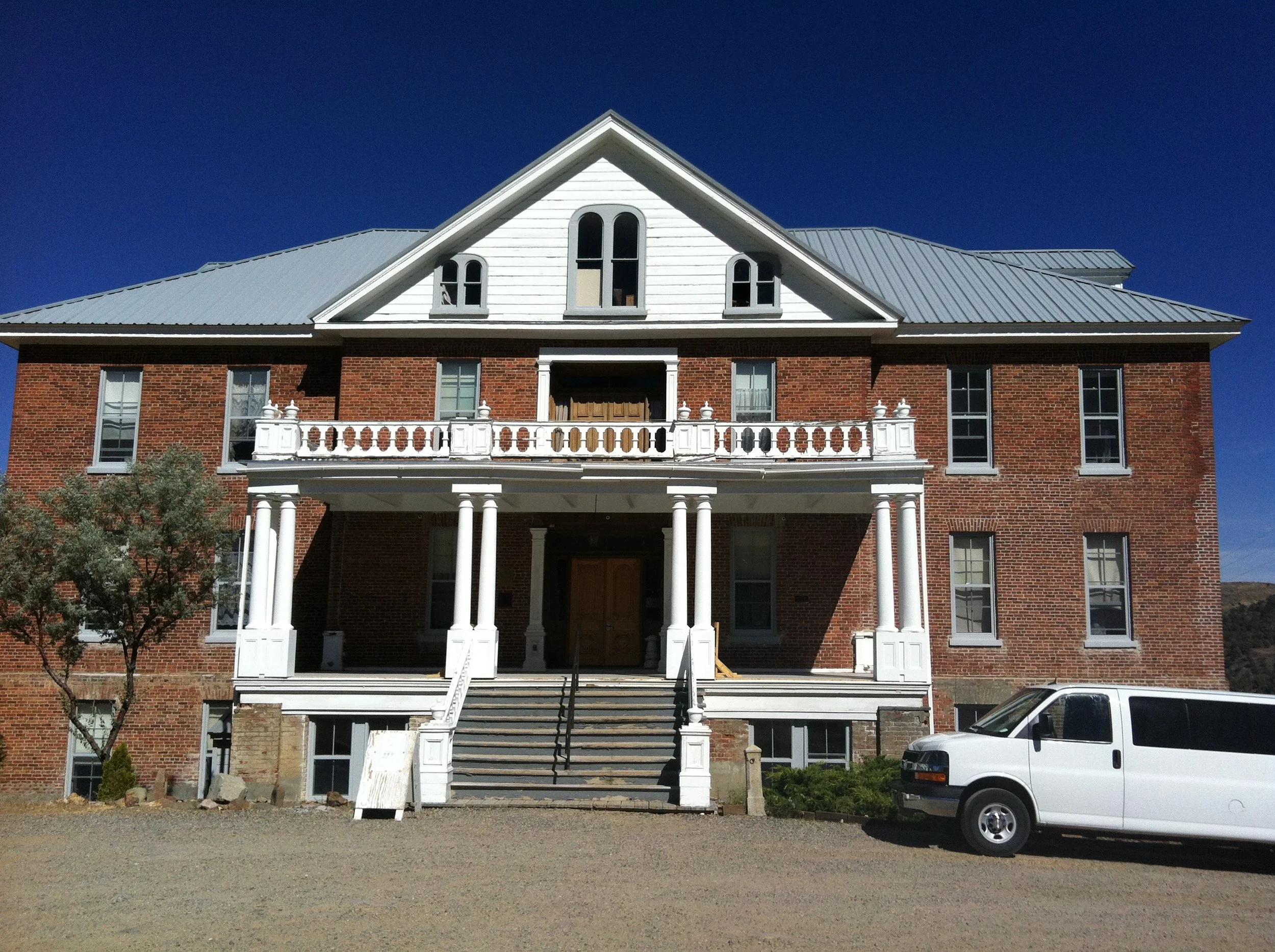
St. Mary's Art Center Investigation
Virginia City, Nevada
GPR survey examined the historic landscape surrounding St. Mary's Art Center, formerly the St. Mary Louise Hospital and an area associated with an earlier nineteenth-century beer garden.
Approximately 1,666 square meters were investigated to identify potential structural remains, pits, water-management features, and other targets for subsequent archaeological excavation.
Indigenous Heritage · Archaeological Geophysics
Stampede Reservoir Archaeological Study
Northern Sierra Nevada, California
Historical spatial analysis and GPR were integrated to investigate a culturally significant Native American archaeological landscape affected by previous excavation and reservoir development.
Legacy archaeological imagery was georeferenced in GIS and compared with GNSS-positioned GPR data, allowing previously documented disturbances and additional patterned subsurface anomalies to be evaluated together.
Archaeometry
Portable X-Ray Fluorescence
Elemental analysis designed around archaeological questions.
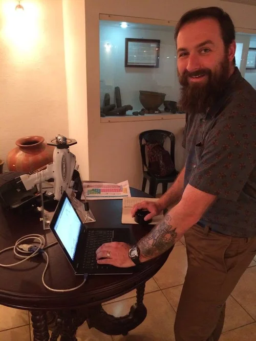
James Daniels has applied portable X-ray fluorescence spectroscopy to archaeological materials research with a particular emphasis on obsidian provenance and the reconstruction of procurement, production, exchange, and interaction.
His archaeometric work includes the compositional analysis of archaeological collections from Mesoamerica and the southeastern United States, methodological research concerning the statistical treatment of pXRF obsidian data, and elemental characterization of additional archaeological materials including ceramics and fossilized shell.
STRATA approaches pXRF results as archaeological datasets rather than isolated instrument readings. Analytical strategy, reference materials, sample condition, quality control, instrument limitations, compositional patterning, statistics, and archaeological context are considered together when evaluating provenance and material characterization.